Rune-stone Ög70, L2012:5847 in Ekeby parish, Boxholm municipality
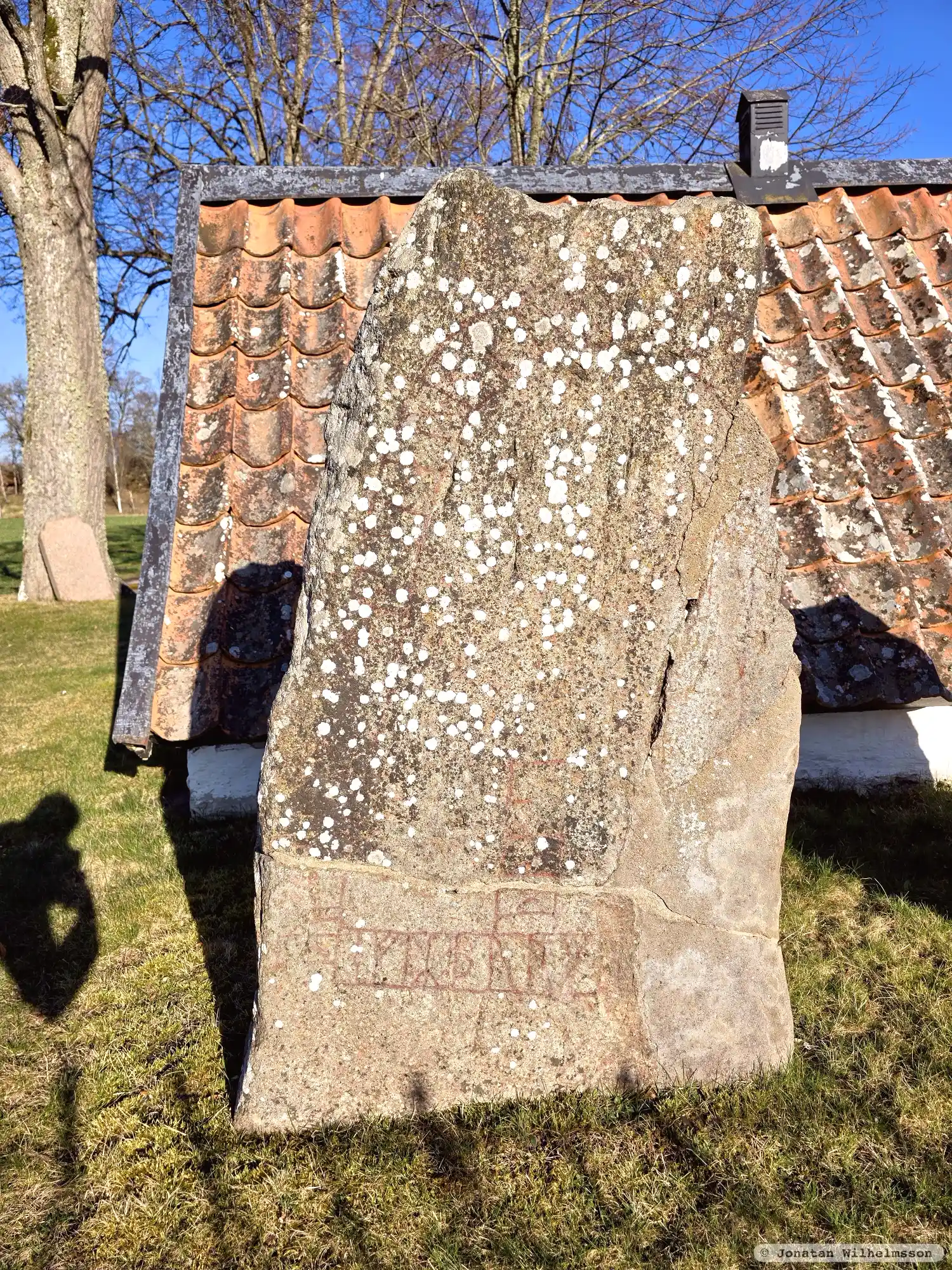
Photo: Jonatan Wilhelmsson
Runic inscription
[b]uþ[i ·] ur[þ]... t[(u)(s)]ti + auk × tuki + þiR (b)... -- ... eftR þu(r)ku[(t) ...þu si]
Inscription
[b]uþ[i ·] ur[þ]... t[(u)(s)]ti + auk × tuki + þiR (b)... -- ... eftR þu(r)ku[(t) ...þu si]
Translation
Boði(?) ... Tosti and Tóki, these brothers ... in memory of Þorgautr, their father.
Find the carving
Rune-stone Ög70, L2012:5847 in Ekeby parish, Boxholm municipality
Facts
| Monument number | L2012:5847 |
|---|---|
| Swedish National Heritage Board ID | Ekeby 34:2 |
| Status | Confirmed on location |
| Place | Visible above ground |
| Material | Greyred granite |
| Antiquarian assessment | Ancient monument |
| Damage status | Damage |
| County | Östergötland |
| Municipality | Boxholm |
| Parish | Ekeby |
| Coordinates | 58.2520845, 15.046709 |
Sources
Most of the factual information in Runkartan comes from the Swedish National Heritage Board’s Fornsök data and from the Scandinavian Runic Text Database. The maps come from OpenStreetMap and Leaflet.js. The photographs were taken by the credited photographers.