Rune-stone DR366, L1979:3439 in Lösen parish, Karlskrona municipality
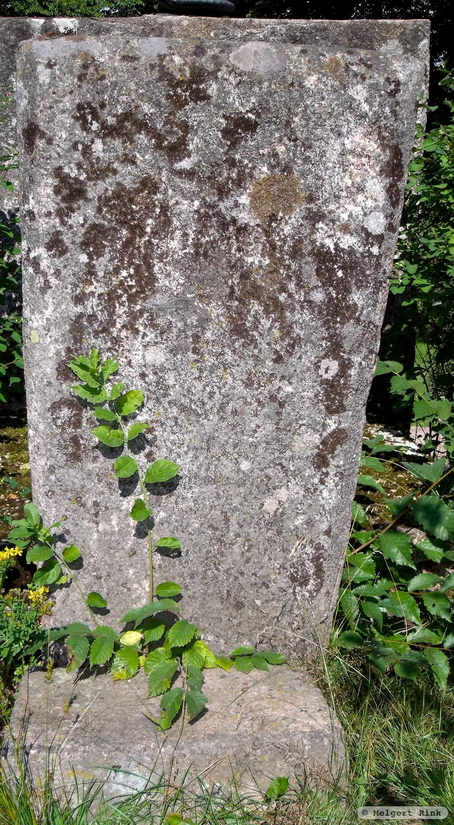
Photo: Melgert Rink
Runic inscription
§P [{ANO} þ{NI M¶CCCX(I)} asio(m)(i) lo](t) gøræ þen(æ) [siææn ¶ aaeiokR ¶ þusi]n au- føþø[ir urkræiæeer] §Q [{ANO} þ{NI M¶CCCX} i asio (m)(i) lo](t) gøræ þen(æ) [siææn ¶ aaeiokR ¶ þusi]n au- føþø[ir urkræiæeer]
Inscription
§P [{ANO} þ{NI M¶CCCX(I)} asio(m)(i) lo](t) gøræ þen(æ) [siææn ¶ aaeiokR ¶ þusi]n au- føþø[ir urkræiæeer] §Q [{ANO} þ{NI M¶CCCX} i asio (m)(i) lo](t) gøræ þen(æ) [siææn ¶ aaeiokR ¶ þusi]n au- føþø[ir urkræiæeer]
Translation
§P {Anno} Domini {MCCCXI} ... had this stone made ... and father/Faðir ... §Q {Anno} Domini {MCCCX} in Ásjór M[ann]i(?) had this stone made ... and father/Faðir ...
Find the carving
Rune-stone DR366, L1979:3439 in Lösen parish, Karlskrona municipality
Facts
| Monument number | L1979:3439 |
|---|---|
| Swedish National Heritage Board ID | Lösen 13:1 |
| Status | Confirmed on location |
| Place | Visible above ground |
| Material | Granite |
| Antiquarian assessment | Ancient monument |
| Damage status | Undamaged |
| County | Blekinge |
| Municipality | Karlskrona |
| Parish | Lösen |
| Coordinates | 56.1968385, 15.6879065 |
Sources
Most of the factual information in Runkartan comes from the Swedish National Heritage Board’s Fornsök data and from the Scandinavian Runic Text Database. The maps come from OpenStreetMap and Leaflet.js. The photographs were taken by the credited photographers.