Rune-stone Hogastenen eller Ramunds häll, BoPeterson1992, L1968:8656 in Stala parish, Orust municipality
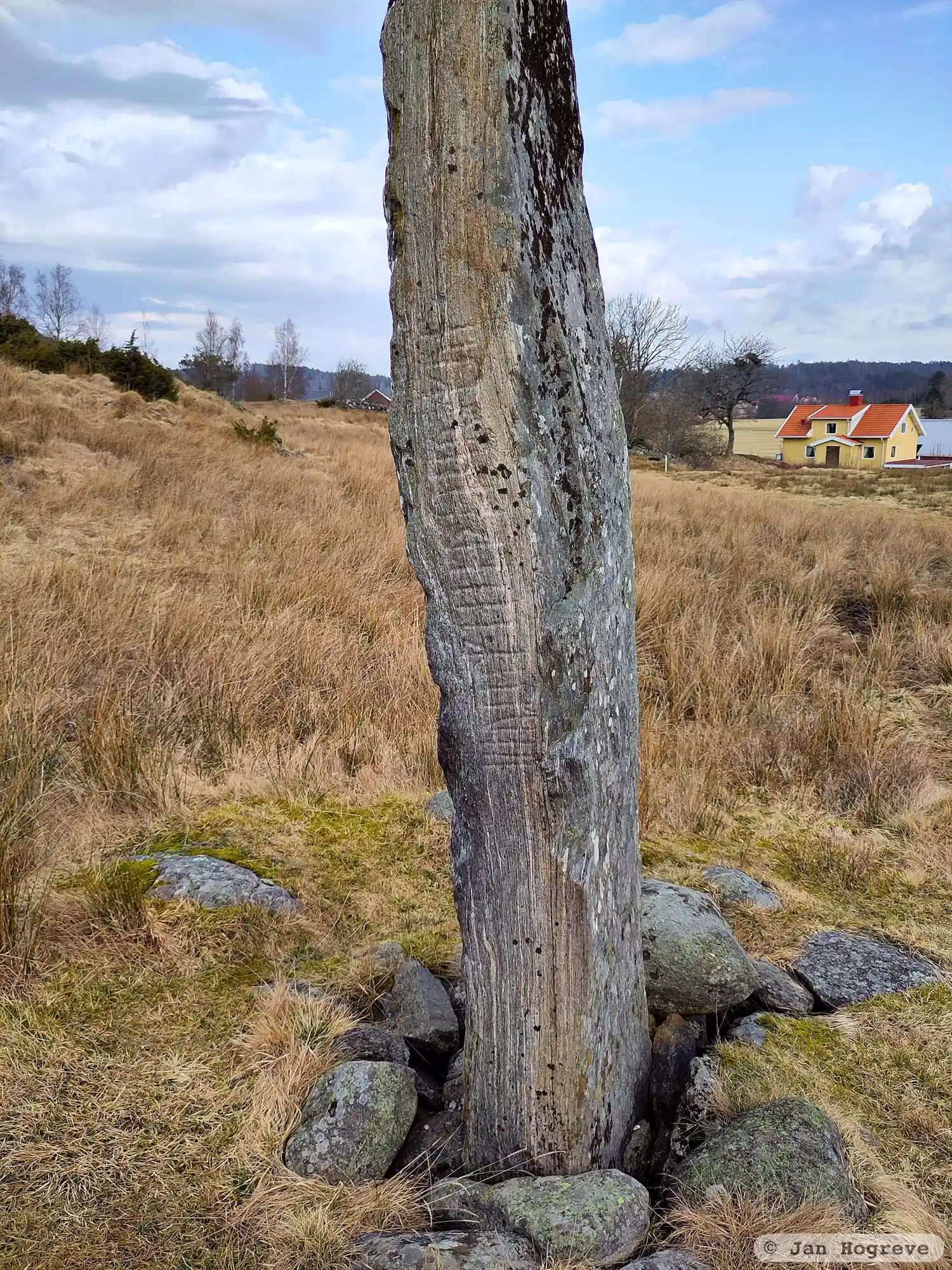
Photo: Jan Hogreve
Runic inscription
HauR/iauR i · am · tain won/þon iar o mul^a ·
Inscription
HauR/iauR i · am · tain won/þon iar o mul^a ·
Translation
Hôr/Jór in Ár made the stone here on the muzzle. / Hôr/Jór in Ár (made) this stone here on the muzzle.
Find the carving
Rune-stone Hogastenen eller Ramunds häll, BoPeterson1992, L1968:8656 in Stala parish, Orust municipality
Facts
| Monument number | L1968:8656 |
|---|---|
| Swedish National Heritage Board ID | Stala 2:1 |
| Status | Confirmed on location |
| Place | Visible above ground |
| Material | Mica-rich gneiss |
| Antiquarian assessment | Ancient monument |
| Damage status | Undamaged |
| County | Västra Götaland |
| Municipality | Orust |
| Parish | Stala |
| Coordinates | 58.1591745, 11.6989705 |
Sources
Most of the factual information in Runkartan comes from the Swedish National Heritage Board’s Fornsök data and from the Scandinavian Runic Text Database. The maps come from OpenStreetMap and Leaflet.js. The photographs were taken by the credited photographers.