Rune-stone Sigges sten, Vg35, L1961:2570 in Otterstad parish, Lidköping municipality
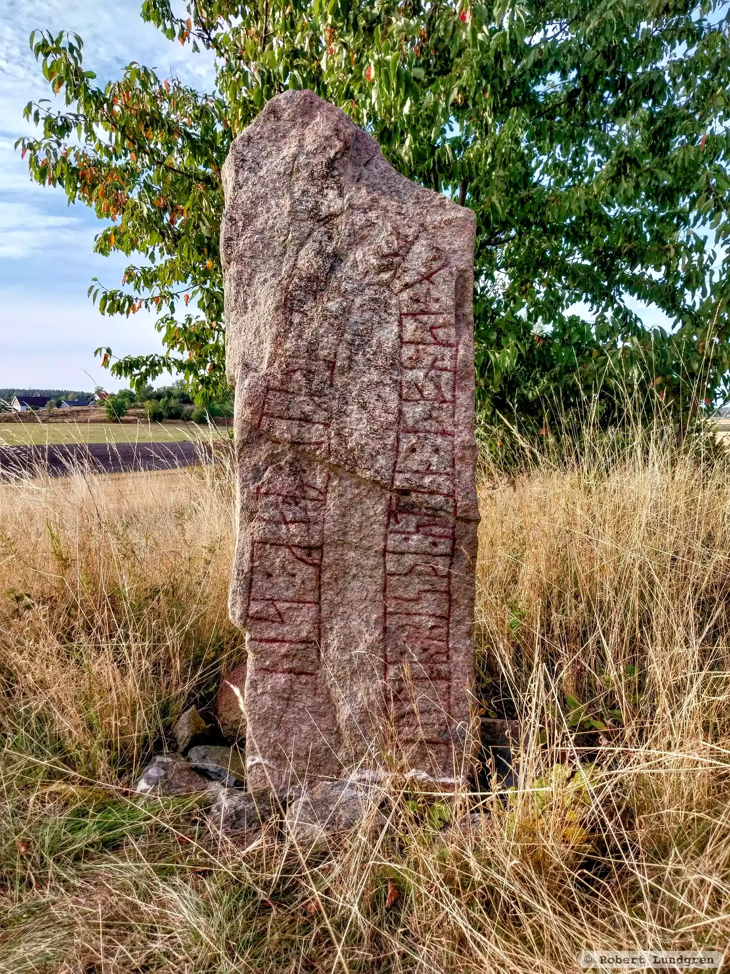
Photo: Robert Lundgren
Runic inscription
: tuliR : risþi : stin : þonsi : aft : þurkil : mag : si-
Inscription
: tuliR : risþi : stin : þonsi : aft : þurkil : mag : si-
Translation
Tólir raised this stone in memory of Þorkell, his kinsman-by-marriage.
Find the carving
Rune-stone Sigges sten, Vg35, L1961:2570 in Otterstad parish, Lidköping municipality
Facts
| Monument number | L1961:2570 |
|---|---|
| Swedish National Heritage Board ID | Otterstad 29:1 |
| Status | Confirmed on location |
| Place | Visible above ground |
| Antiquarian assessment | Ancient monument |
| Damage status | Damage |
| County | Västra Götaland |
| Municipality | Lidköping |
| Parish | Otterstad |
| Coordinates | 58.6628515, 13.1951445 |
Sources
Most of the factual information in Runkartan comes from the Swedish National Heritage Board’s Fornsök data and from the Scandinavian Runic Text Database. The maps come from OpenStreetMap and Leaflet.js. The photographs were taken by the credited photographers.