Runic rock inscription U210, L2017:2752 in Angarn parish, Vallentuna municipality
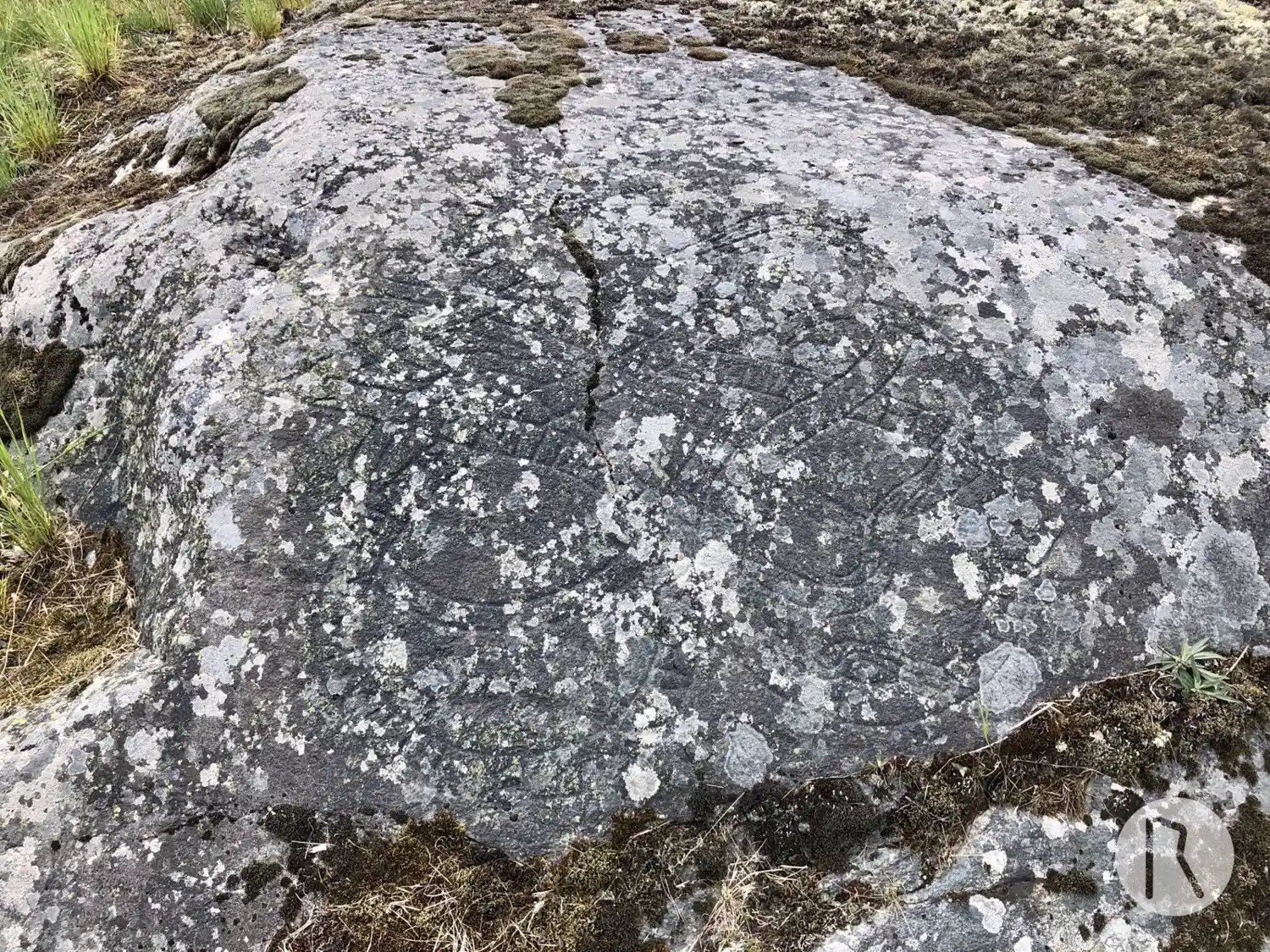
Photo: Niklas Vackerdag
Runic inscription
finuiþr ' auk ' hulmkaiR ' litu ' kera ' merki ÷ at ÷ hulmkut ' faþur ÷ sin ÷ iþinui ' at ' bonta sin ' ybiR ' iak
Inscription
finuiþr ' auk ' hulmkaiR ' litu ' kera ' merki ÷ at ÷ hulmkut ' faþur ÷ sin ÷ iþinui ' at ' bonta sin ' ybiR ' iak
Translation
Finnviðr and Holmgeirr had the landmark made in memory of Holmgautr, their father; Heðinvé in memory of her husbandman. Œpir cut.
Find the carving
Runic rock inscription U210, L2017:2752 in Angarn parish, Vallentuna municipality
Facts
| Monument number | L2017:2752 |
|---|---|
| Swedish National Heritage Board ID | Angarn 73:1 |
| Carver | Öpir 1 (S) |
| Status | Confirmed on location |
| Place | Visible above ground |
| Period | Viking age |
| Antiquarian assessment | Ancient monument |
| Damage status | Undamaged |
| County | Stockholm |
| Municipality | Vallentuna |
| Parish | Angarn |
| Coordinates | 59.53583, 18.144514 |
Sources
Most of the factual information in Runkartan comes from the Swedish National Heritage Board’s Fornsök data and from the Scandinavian Runic Text Database. The maps come from OpenStreetMap and Leaflet.js. The photographs were taken by the credited photographers.