Rune-stone Sö292, L2017:7903 in Grödinge parish, Botkyrka municipality
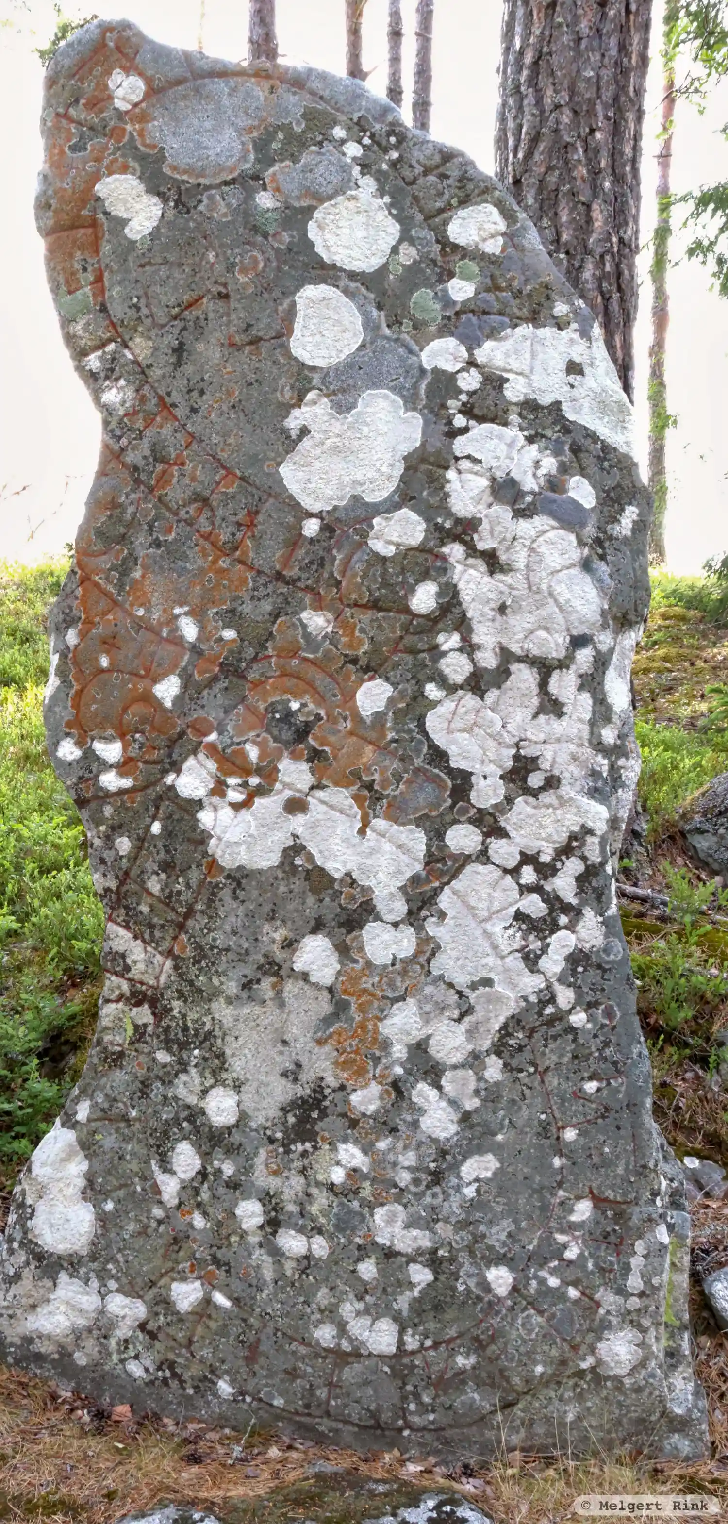
Photo: Melgert Rink
Runic inscription
+ uihmar + (l)et + ra(i)-- + saen + þina + at + iaruta + mah + auk + felha + sin + auk + buþur + ka...a +
Inscription
+ uihmar + (l)et + ra(i)-- + saen + þina + at + iaruta + mah + auk + felha + sin + auk + buþur + ka...a +
Translation
Vígmarr had this stone raised in memory of Jôrundi/Jôrundr, his kinsman-by-marriage and partner and the brother ...
Find the carving
Rune-stone Sö292, L2017:7903 in Grödinge parish, Botkyrka municipality
Facts
| Monument number | L2017:7903 |
|---|---|
| Swedish National Heritage Board ID | Grödinge 215:1 |
| Carver | Halvdan (A) |
| Status | Confirmed on location |
| Place | Visible above ground |
| Period | Viking age |
| Antiquarian assessment | Ancient monument |
| Damage status | Unknown |
| County | Stockholm |
| Municipality | Botkyrka |
| Parish | Grödinge |
| Coordinates | 59.0952495, 17.8891545 |
Sources
Most of the factual information in Runkartan comes from the Swedish National Heritage Board’s Fornsök data and from the Scandinavian Runic Text Database. The maps come from OpenStreetMap and Leaflet.js. The photographs were taken by the credited photographers.