Runic rock inscription L1984:7239 in Mariefred parish, Strängnäs municipality
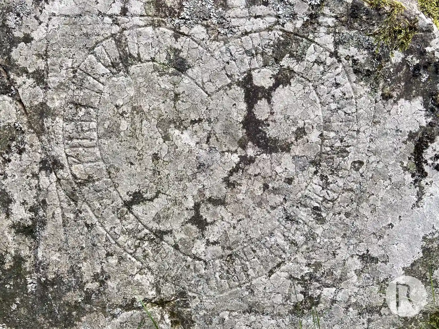
Photo: Niklas Vackerdag
Find the carving
Runic rock inscription L1984:7239 in Mariefred parish, Strängnäs municipality
Facts
| Monument number | L1984:7239 |
|---|---|
| Swedish National Heritage Board ID | Mariefred 28:2 |
| Status | Confirmed on location |
| Place | Visible above ground |
| Antiquarian assessment | Possible ancient monument |
| Damage status | Undamaged |
| County | Södermanland |
| Municipality | Strängnäs |
| Parish | Mariefred |
| Coordinates | 59.26165, 17.212372 |
Sources
Most of the factual information in Runkartan comes from the Swedish National Heritage Board’s Fornsök data and from the Scandinavian Runic Text Database. The maps come from OpenStreetMap and Leaflet.js. The photographs were taken by the credited photographers.