Rune-stone Ög236, L2009:5336 in Östra Stenby parish, Norrköping municipality
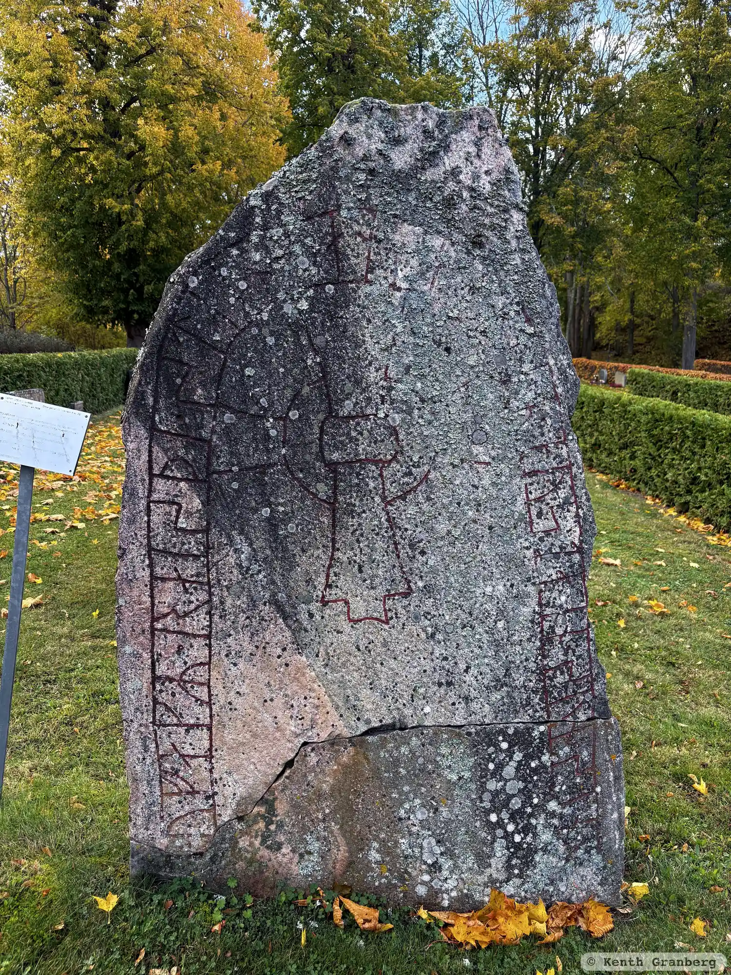
Photo: Kenth Granberg
Runic inscription
× ufagR · raisþi · stain · þansa · eftiR · aystain · sun sin ×
Inscription
× ufagR · raisþi · stain · þansa · eftiR · aystain · sun sin ×
Translation
Ófeigr raised this stone in memory of Eysteinn, his son.
Find the carving
Rune-stone Ög236, L2009:5336 in Östra Stenby parish, Norrköping municipality
Facts
| Monument number | L2009:5336 |
|---|---|
| Swedish National Heritage Board ID | Östra Stenby 142:4 |
| Status | Confirmed on location |
| Place | Visible above ground |
| Material | Gray granite with reddish inclusions |
| Antiquarian assessment | Ancient monument |
| Damage status | Damage |
| County | Östergötland |
| Municipality | Norrköping |
| Parish | Östra Stenby |
| Coordinates | 58.5824855, 16.475663 |
Sources
Most of the factual information in Runkartan comes from the Swedish National Heritage Board’s Fornsök data and from the Scandinavian Runic Text Database. The maps come from OpenStreetMap and Leaflet.js. The photographs were taken by the credited photographers.