Rune-stone Ög180, L2012:5298 in Gammalkil parish, Linköping municipality
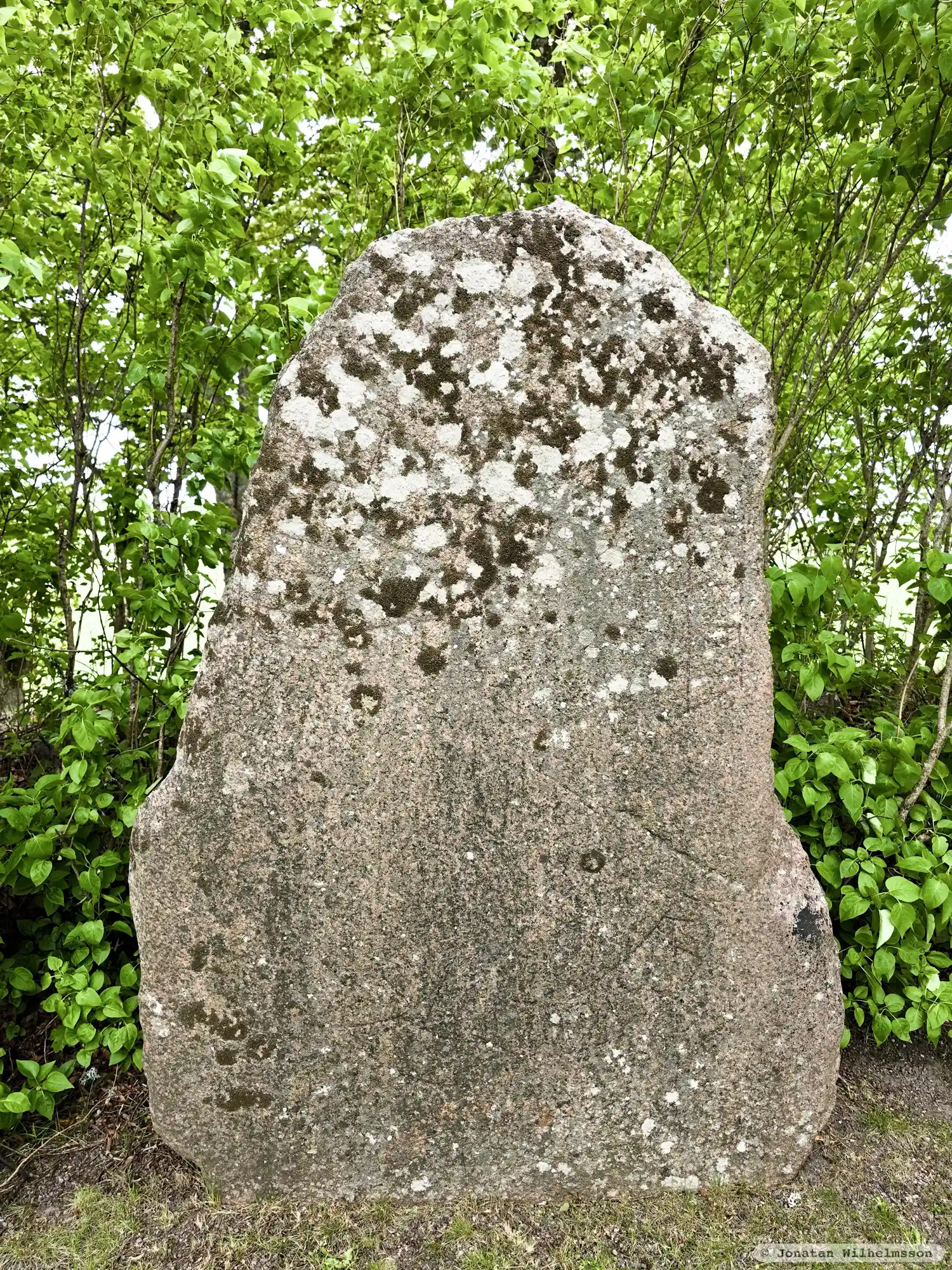
Photo: Jonatan Wilhelmsson
Runic inscription
[haltan :] (r)ist · stin · þasi : hrulf : faþu [: sin :] (u)(a)(s) ku(þ)
Inscription
[haltan :] (r)ist · stin · þasi : hrulf : faþu [: sin :] (u)(a)(s) ku(þ)
Translation
Halfdan raised/carved this stone in memory of Hrólfr, his father; (he) was good.
Find the carving
Rune-stone Ög180, L2012:5298 in Gammalkil parish, Linköping municipality
Facts
| Monument number | L2012:5298 |
|---|---|
| Swedish National Heritage Board ID | Gammalkil 18:1 |
| Status | Confirmed on location |
| Place | Visible above ground |
| Antiquarian assessment | Ancient monument |
| Damage status | Damage |
| County | Östergötland |
| Municipality | Linköping |
| Parish | Gammalkil |
| Coordinates | 58.3126685, 15.3955865 |
Sources
Most of the factual information in Runkartan comes from the Swedish National Heritage Board’s Fornsök data and from the Scandinavian Runic Text Database. The maps come from OpenStreetMap and Leaflet.js. The photographs were taken by the credited photographers.