Rune-stone Vg152, L1960:1223 in Österplana parish, Götene municipality
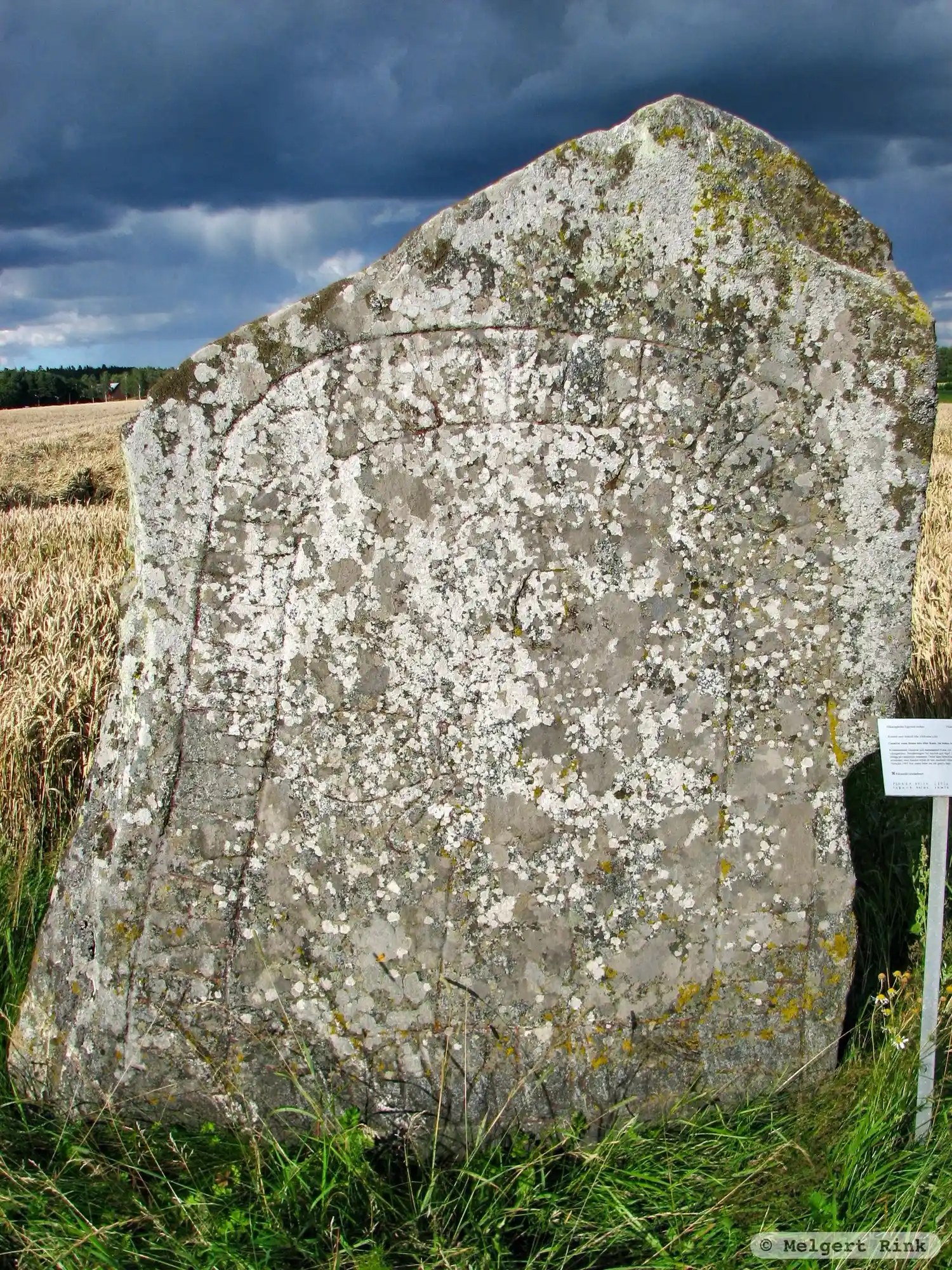
Photo: Melgert Rink
Runic inscription
kunuar : resþi : stin : þani : eftiR : kana : bunta : sin : þegn harþa kuþan
Inscription
kunuar : resþi : stin : þani : eftiR : kana : bunta : sin : þegn harþa kuþan
Translation
Gunnvôr raised this stone in memory of Kani, her husbandman, a very good Þegn.
Find the carving
Rune-stone Vg152, L1960:1223 in Österplana parish, Götene municipality
Facts
| Monument number | L1960:1223 |
|---|---|
| Swedish National Heritage Board ID | Österplana 4:1 |
| Status | Confirmed on location |
| Place | Visible above ground |
| Antiquarian assessment | Other cultural-historical relic |
| Damage status | Damage |
| County | Västra Götaland |
| Municipality | Götene |
| Parish | Österplana |
| Coordinates | 58.6245665, 13.423495 |
Sources
Most of the factual information in Runkartan comes from the Swedish National Heritage Board’s Fornsök data and from the Scandinavian Runic Text Database. The maps come from OpenStreetMap and Leaflet.js. The photographs were taken by the credited photographers.