Rune-stone U644, L1941:8693 in Yttergran parish, Håbo municipality
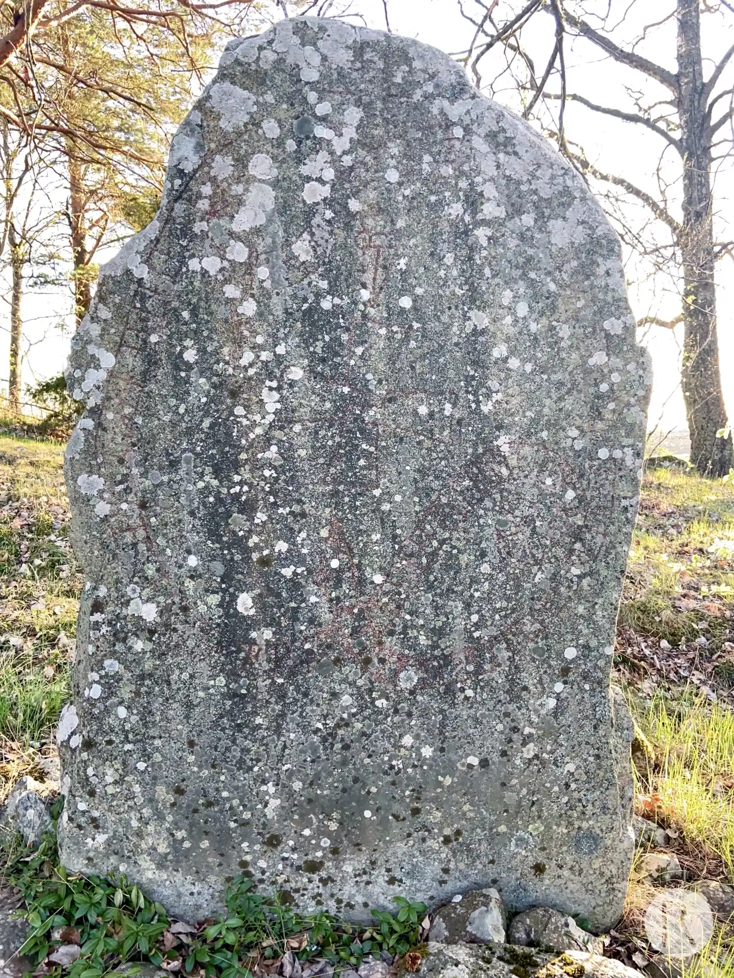
Photo: Niklas Vackerdag
Runic inscription
an(u)(i)(t)r : auk · kiti : auk · kar : auk · blisi · auk · tiarfr · þir · raistu · stain þina · aftiR · kunlaif · foþur : sin han : fil · austr : miþ : ikuari kuþ heabi ontini
Inscription
an(u)(i)(t)r : auk · kiti : auk · kar : auk · blisi · auk · tiarfr · þir · raistu · stain þina · aftiR · kunlaif · foþur : sin han : fil · austr : miþ : ikuari kuþ heabi ontini
Translation
Andvéttr and <kiti> and Kárr and Blesi and Djarfr, they raised this stone in memory of Gunnleifr, their father. He fell in the east with Ingvarr. May God help (his) spirit.
Find the carving
Rune-stone U644, L1941:8693 in Yttergran parish, Håbo municipality
Facts
| Monument number | L1941:8693 |
|---|---|
| Swedish National Heritage Board ID | Yttergran 3:1 |
| Carver | Alrik (A); Äskil 2 (A) |
| Status | Confirmed on location |
| Place | Visible above ground |
| Material | Light granite |
| Period | Viking age |
| Antiquarian assessment | Ancient monument |
| Damage status | Unknown |
| County | Uppsala |
| Municipality | Håbo |
| Parish | Yttergran |
| Coordinates | 59.60778, 17.500163 |
Sources
Most of the factual information in Runkartan comes from the Swedish National Heritage Board’s Fornsök data and from the Scandinavian Runic Text Database. The maps come from OpenStreetMap and Leaflet.js. The photographs were taken by the credited photographers.