Rune-stone U573, L2016:5764 in Lohärad parish, Norrtälje municipality
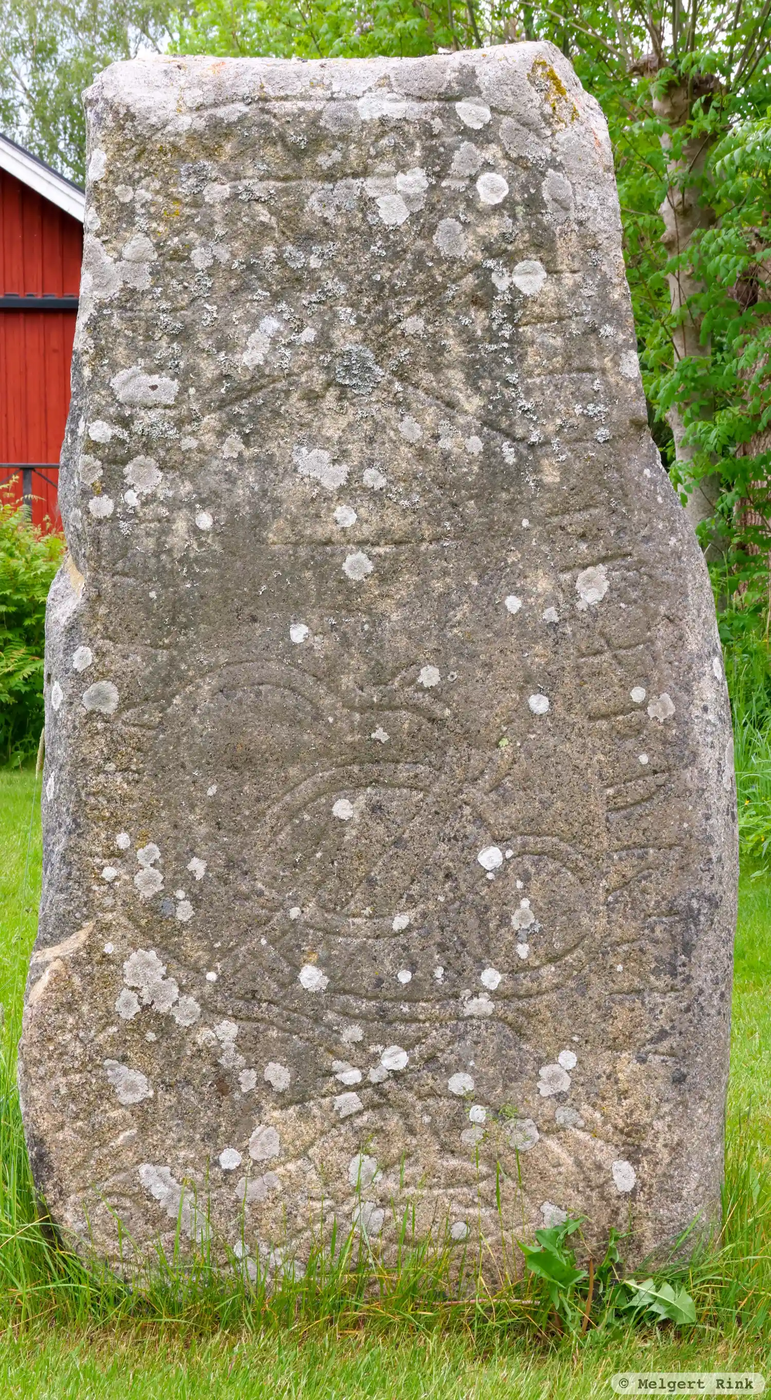
Photo: Melgert Rink
Runic inscription
alfkautr · (a)(u)(k) · uRhtafr · lRtu · rasa · stain · at · faþur · san · uRiha ·
Inscription
alfkautr · (a)(u)(k) · uRhtafr · lRtu · rasa · stain · at · faþur · san · uRiha ·
Translation
Alfgautr and Vígdjarfr had the stone raised in memory of their father Vígi.
Find the carving
Rune-stone U573, L2016:5764 in Lohärad parish, Norrtälje municipality
Facts
| Monument number | L2016:5764 |
|---|---|
| Swedish National Heritage Board ID | Lohärad 88:1 |
| Status | Confirmed on location |
| Place | Visible above ground |
| Material | Lightred granite |
| Antiquarian assessment | Ancient monument |
| Damage status | Unknown |
| County | Stockholm |
| Municipality | Norrtälje |
| Parish | Lohärad |
| Coordinates | 59.7828195, 18.553465 |
Sources
Most of the factual information in Runkartan comes from the Swedish National Heritage Board’s Fornsök data and from the Scandinavian Runic Text Database. The maps come from OpenStreetMap and Leaflet.js. The photographs were taken by the credited photographers.