Rune-stone U42, L2016:8761 in Skå parish, Ekerö municipality
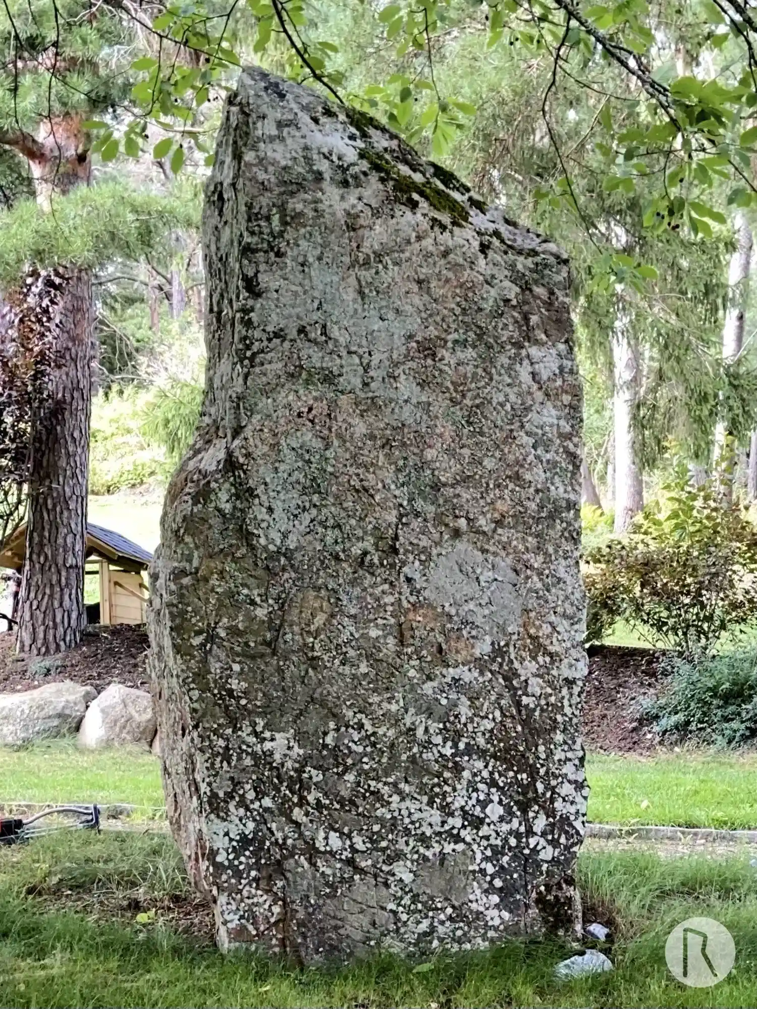
Photo: Niklas Vackerdag
Runic inscription
kiulakr × lit × raisa istai[n] × iftir × kuih sua[un] sin × (k)u-an ×
Inscription
kiulakr × lit × raisa istai[n] × iftir × kuih sua[un] sin × (k)u-an ×
Translation
Kjallakr/Kjullakr had the stone raised in memory of Kvígr, his good son(?).
Find the carving
Rune-stone U42, L2016:8761 in Skå parish, Ekerö municipality
Facts
| Monument number | L2016:8761 |
|---|---|
| Swedish National Heritage Board ID | Skå 25:1 |
| Status | Confirmed on location |
| Place | Visible above ground |
| Antiquarian assessment | Ancient monument |
| Damage status | Unknown |
| County | Stockholm |
| Municipality | Ekerö |
| Parish | Skå |
| Coordinates | 59.321436, 17.770103 |
Sources
Most of the factual information in Runkartan comes from the Swedish National Heritage Board’s Fornsök data and from the Scandinavian Runic Text Database. The maps come from OpenStreetMap and Leaflet.js. The photographs were taken by the credited photographers.