
Rune-stone U127, L2017:652 in Danderyd parish, Danderyd municipality
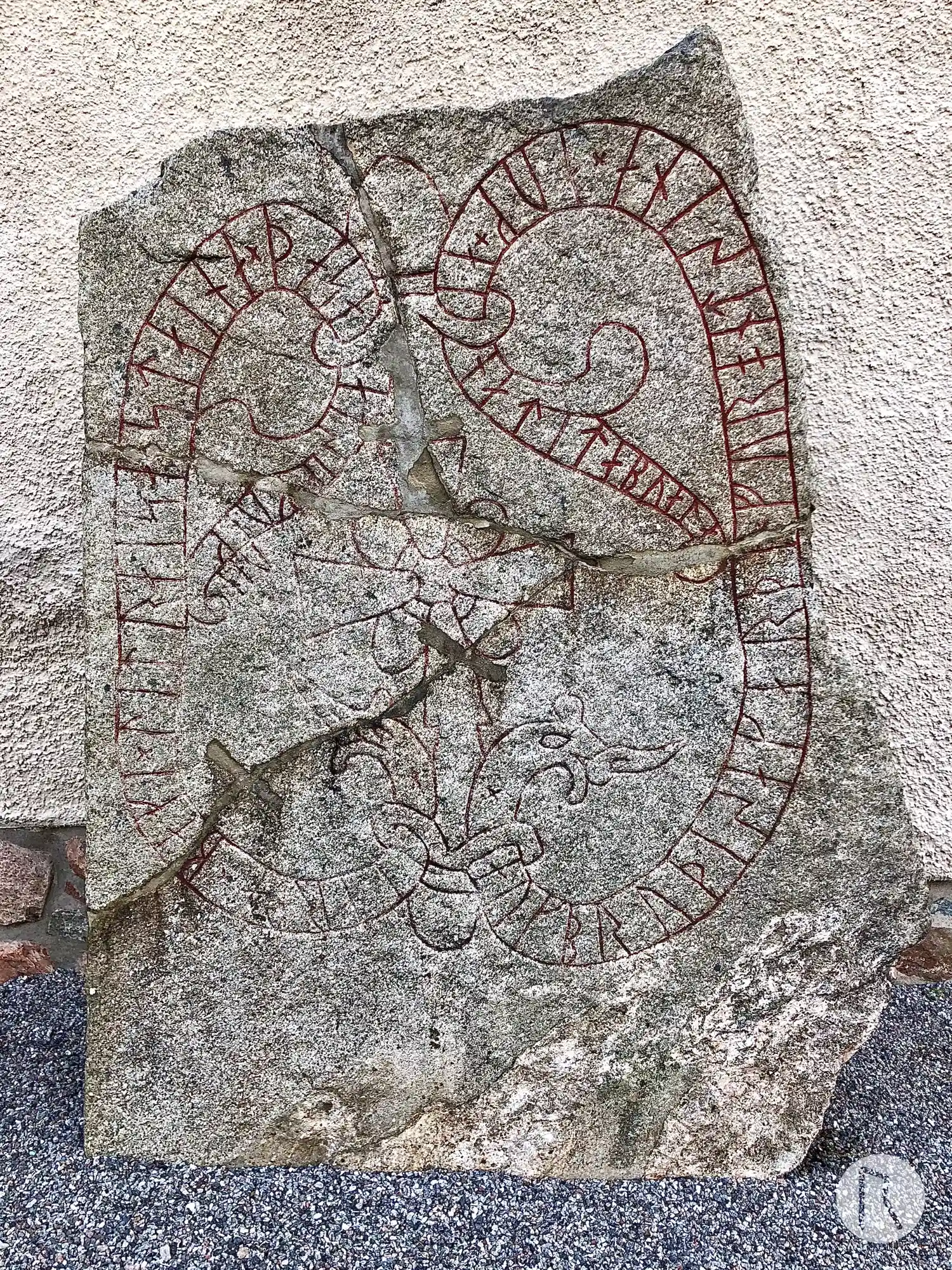
Photo: Niklas Vackerdag
Runic inscription
× iarla×baki × lit raisa [×] staina × þasa at sik × kuikuan × auk bru þisa karþi × fur ont sina × auk × ain ati tabu ala-
Inscription
× iarla×baki × lit raisa [×] staina × þasa at sik × kuikuan × auk bru þisa karþi × fur ont sina × auk × ain ati tabu ala-
Translation
Jarlabanki had these stones raised in memory of himself while alive, and made this bridge for his spirit, and (he) alone owned all of Tábýr.
Find the carving
Rune-stone U127, L2017:652 in Danderyd parish, Danderyd municipality

Facts
| Monument number | L2017:652 |
|---|---|
| Swedish National Heritage Board ID | Danderyd 2:1 |
| Carver | Fot 2 (A) |
| Status | Confirmed on location |
| Place | Visible above ground |
| Material | Granite |
| Period | Viking age |
| Antiquarian assessment | Ancient monument |
| Damage status | Damage |
| County | Stockholm |
| Municipality | Danderyd |
| Parish | Danderyd |
| Coordinates | 59.40727, 18.036295 |
Sources
Most of the factual information in Runkartan comes from the Swedish National Heritage Board’s Fornsök data and from the Scandinavian Runic Text Database. The maps come from OpenStreetMap and Leaflet.js. The photographs were taken by the credited photographers.