Rune-stone U1180, L1944:2231 in Östervåla parish, Heby municipality
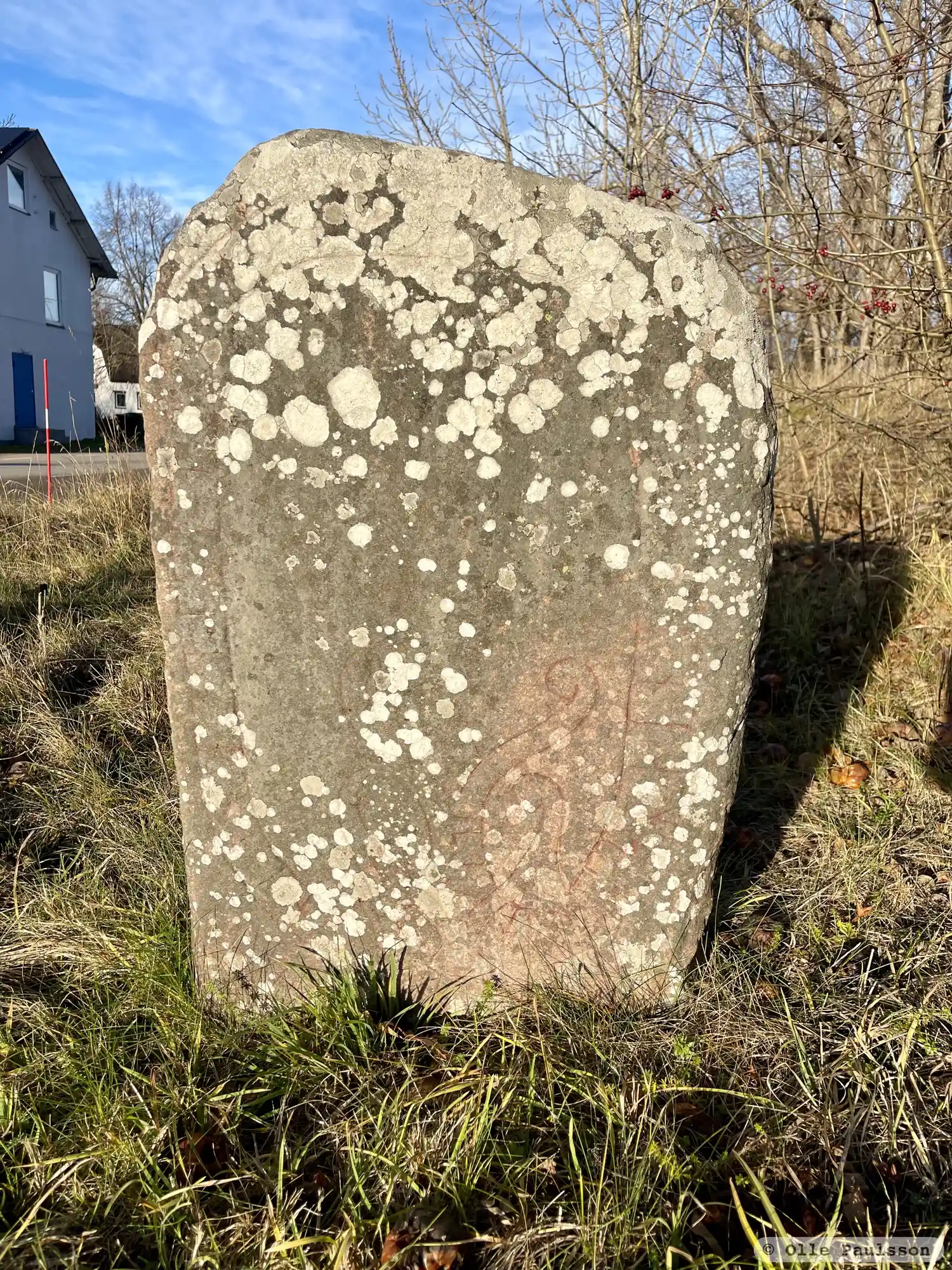
Photo: Olle Paulsson
Runic inscription
hi : r-sisRainþnsnskna[þi]aia[s]kra : irþ[e](o)þiR-nosknlisuisi
Inscription
hi : r-sisRainþnsnskna[þi]aia[s]kra : irþ[e](o)þiR-nosknlisuisi
Translation
...
Find the carving
Rune-stone U1180, L1944:2231 in Östervåla parish, Heby municipality
Facts
| Monument number | L1944:2231 |
|---|---|
| Swedish National Heritage Board ID | Östervåla 10:1 |
| Status | Confirmed on location |
| Place | Visible above ground |
| Material | Light red sandstone |
| Antiquarian assessment | Ancient monument |
| Damage status | Damage |
| County | Uppsala |
| Municipality | Heby |
| Parish | Östervåla |
| Coordinates | 60.1839815, 17.192483 |
Sources
Most of the factual information in Runkartan comes from the Swedish National Heritage Board’s Fornsök data and from the Scandinavian Runic Text Database. The maps come from OpenStreetMap and Leaflet.js. The photographs were taken by the credited photographers.