Rune-stone U1172, L1944:944 in Vittinge parish, Heby municipality
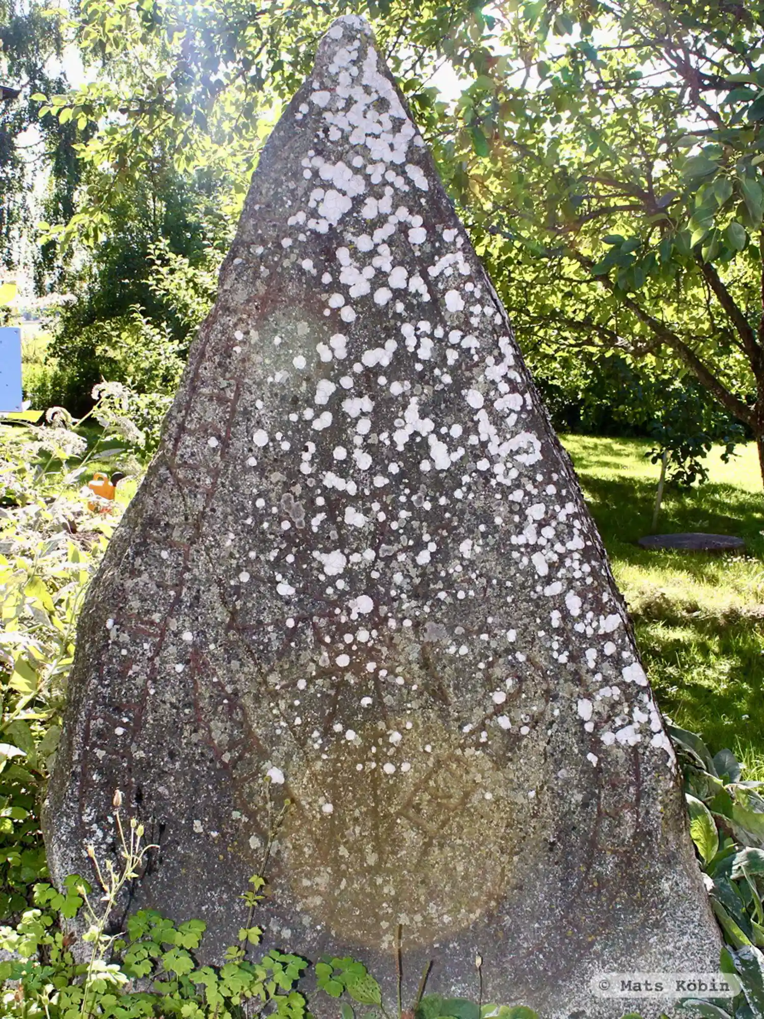
Photo: Mats Köbin
Runic inscription
biarn + auk + þair + biruþr + rastu + stain × þina × aftir + sihbiarn i humi
Inscription
biarn + auk + þair + biruþr + rastu + stain × þina × aftir + sihbiarn i humi
Translation
Bjôrn and his brothers raised this stone in memory of Sigbjôrn of Holmr.
Find the carving
Rune-stone U1172, L1944:944 in Vittinge parish, Heby municipality
Facts
| Monument number | L1944:944 |
|---|---|
| Swedish National Heritage Board ID | Vittinge 26:1 |
| Carver | Erik (A) |
| Status | Confirmed on location |
| Place | Visible above ground |
| Material | Granulated granite |
| Period | Viking age |
| Antiquarian assessment | Ancient monument |
| Damage status | Undamaged |
| County | Uppsala |
| Municipality | Heby |
| Parish | Vittinge |
| Coordinates | 59.8978515, 16.9560535 |
Sources
Most of the factual information in Runkartan comes from the Swedish National Heritage Board’s Fornsök data and from the Scandinavian Runic Text Database. The maps come from OpenStreetMap and Leaflet.js. The photographs were taken by the credited photographers.