Rune-stone U1118, L1942:6985 in Skuttunge parish, Uppsala municipality
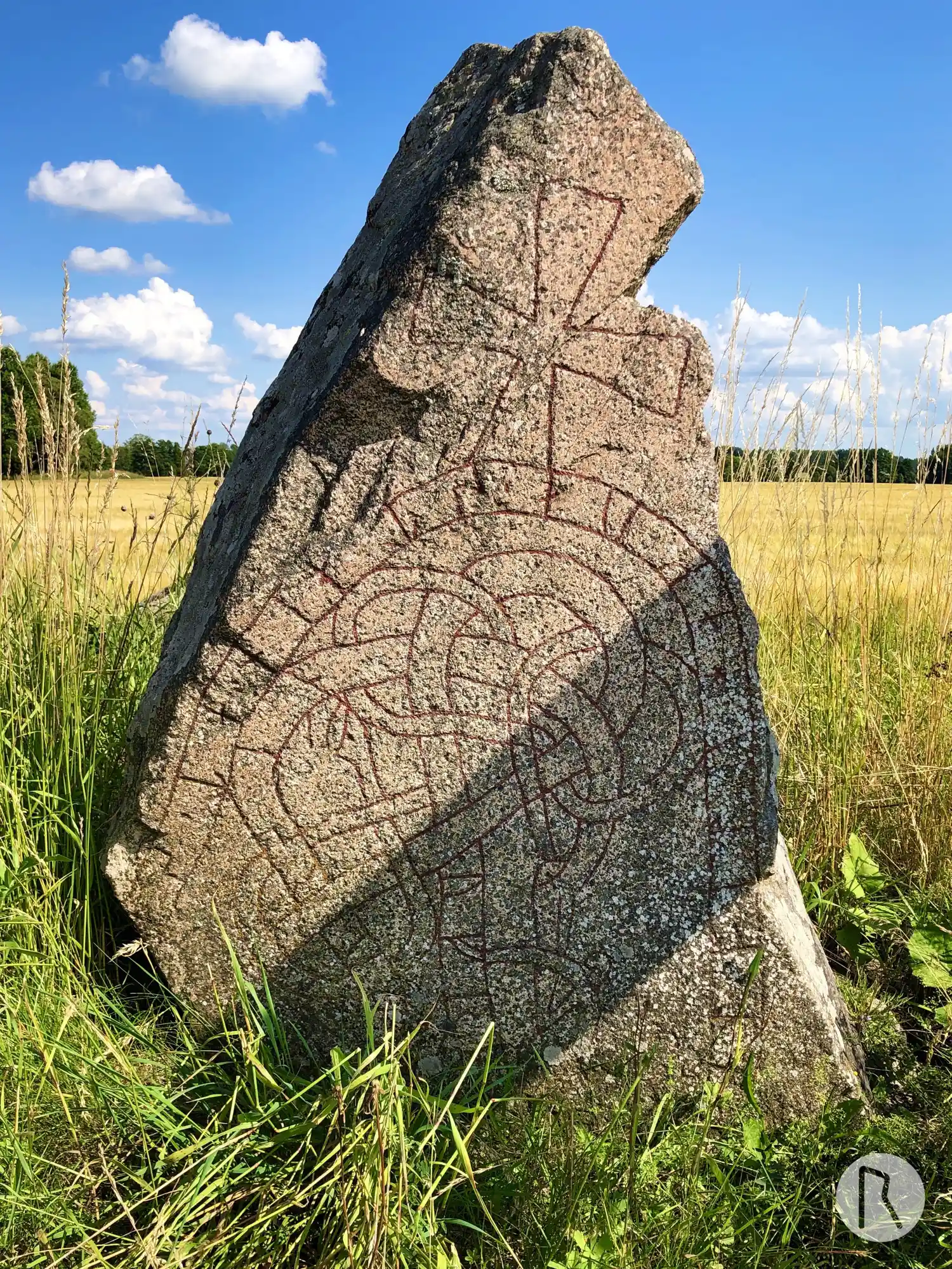
Photo: Niklas Vackerdag
Runic inscription
ufrir · ok kisl · litu · hakua · stain · at su[art] · broþur · sin
Inscription
ufrir · ok kisl · litu · hakua · stain · at su[art] · broþur · sin
Translation
Ófriðr and Gísl had the stone cut in memory of Svartr, their brother.
Find the carving
Rune-stone U1118, L1942:6985 in Skuttunge parish, Uppsala municipality
Facts
| Monument number | L1942:6985 |
|---|---|
| Swedish National Heritage Board ID | Skuttunge 62:1 |
| Status | Confirmed on location |
| Place | Visible above ground |
| Material | Red granite |
| Antiquarian assessment | Ancient monument |
| Damage status | Unknown |
| County | Uppsala |
| Municipality | Uppsala |
| Parish | Skuttunge |
| Coordinates | 60.011486116667, 17.532095 |
Sources
Most of the factual information in Runkartan comes from the Swedish National Heritage Board’s Fornsök data and from the Scandinavian Runic Text Database. The maps come from OpenStreetMap and Leaflet.js. The photographs were taken by the credited photographers.