Rune-stone SöFv1959;262, L2014:8828 in Österhaninge parish, Haninge municipality
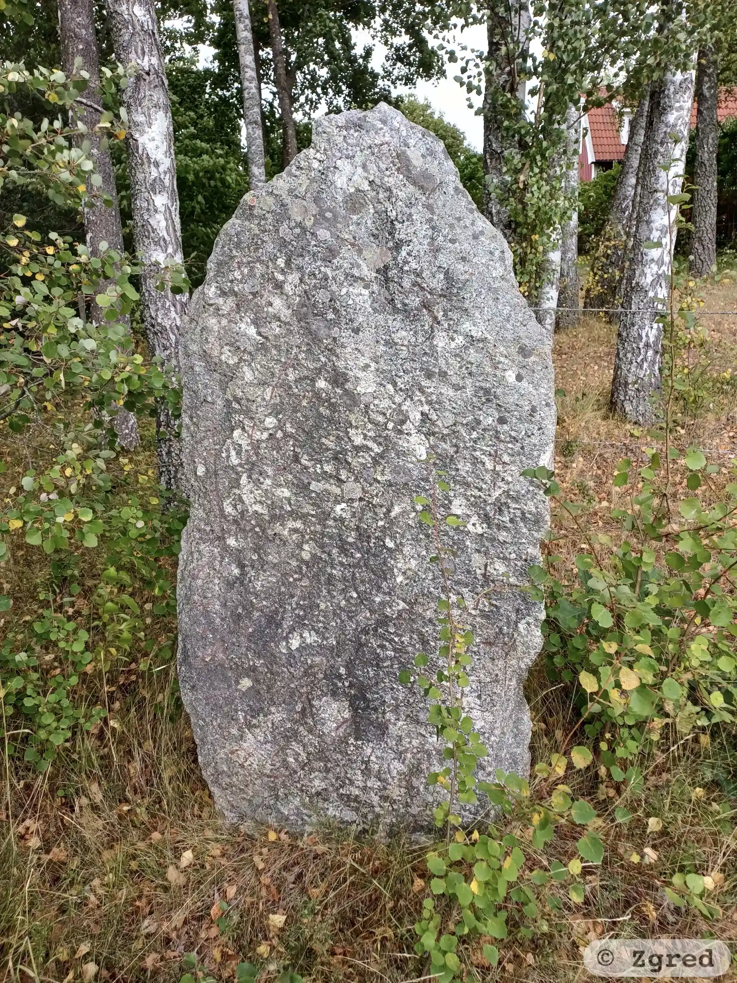
Photo: Zgred
Runic inscription
· a-þkuþr · auk · arkir · li-u · raisa ...a ...ai... ...-... ...---t · b...þu- -in
Inscription
· a-þkuþr · auk · arkir · li-u · raisa ...a ...ai... ...-... ...---t · b...þu- -in
Translation
Auðgunnr(?) and Arngerðr/Arngeirr had raised ... their brother.
Find the carving
Rune-stone SöFv1959;262, L2014:8828 in Österhaninge parish, Haninge municipality
Facts
| Monument number | L2014:8828 |
|---|---|
| Swedish National Heritage Board ID | Österhaninge 510:1 |
| Status | Confirmed on location |
| Place | Visible above ground |
| Material | Gneissgranite |
| Period | Viking age |
| Antiquarian assessment | Ancient monument |
| Damage status | Undamaged |
| County | Stockholm |
| Municipality | Haninge |
| Parish | Österhaninge |
| Coordinates | 59.1281625, 18.1428495 |
Sources
Most of the factual information in Runkartan comes from the Swedish National Heritage Board’s Fornsök data and from the Scandinavian Runic Text Database. The maps come from OpenStreetMap and Leaflet.js. The photographs were taken by the credited photographers.