Rune-stone Sm121, L1973:4386 in Rogberga parish, Jönköping municipality
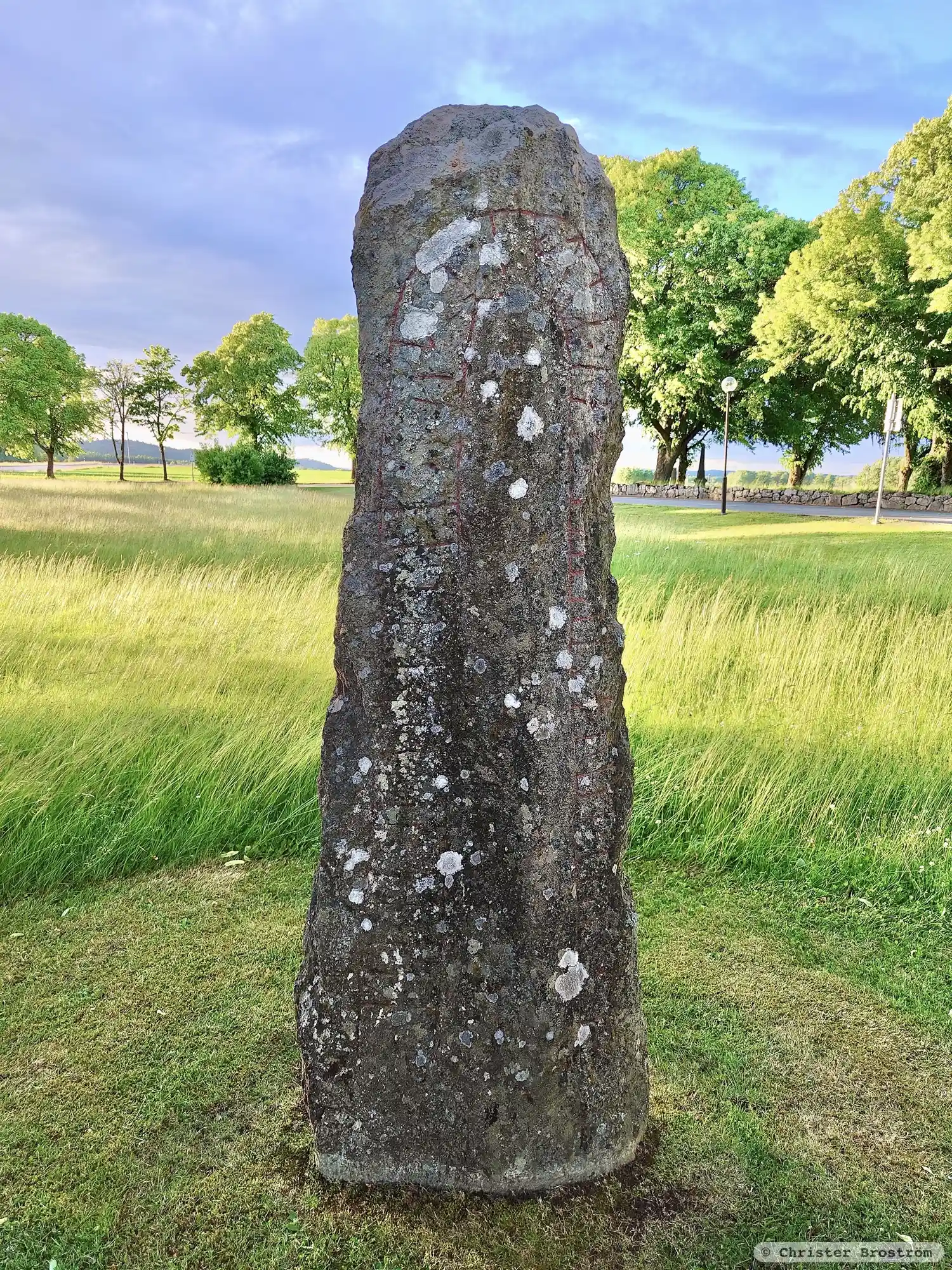
Photo: Jonatan Wilhelmsson
Runic inscription
: ketil : resþi : kuml : [þ]usi : eftiR : le- · [muþ]ur[:]bruþur : sin :
Inscription
: ketil : resþi : kuml : [þ]usi : eftiR : le- · [muþ]ur[:]bruþur : sin :
Translation
Ketill raised these monuments in memory of Leikr(?), his mother's brother.
Find the carving
Rune-stone Sm121, L1973:4386 in Rogberga parish, Jönköping municipality
Facts
| Monument number | L1973:4386 |
|---|---|
| Swedish National Heritage Board ID | Rogberga 20:1 |
| Status | Confirmed on location |
| Place | Visible above ground |
| Material | Red granite |
| Period | Viking age |
| Antiquarian assessment | Ancient monument |
| Damage status | Damage |
| County | Jönköping |
| Municipality | Jönköping |
| Parish | Rogberga |
| Coordinates | 57.7334065, 14.2815025 |
Sources
Most of the factual information in Runkartan comes from the Swedish National Heritage Board’s Fornsök data and from the Scandinavian Runic Text Database. The maps come from OpenStreetMap and Leaflet.js. The photographs were taken by the credited photographers.