Rune-stone ÖgFv1983;240, L2012:1209 in Appuna parish, Mjölby municipality
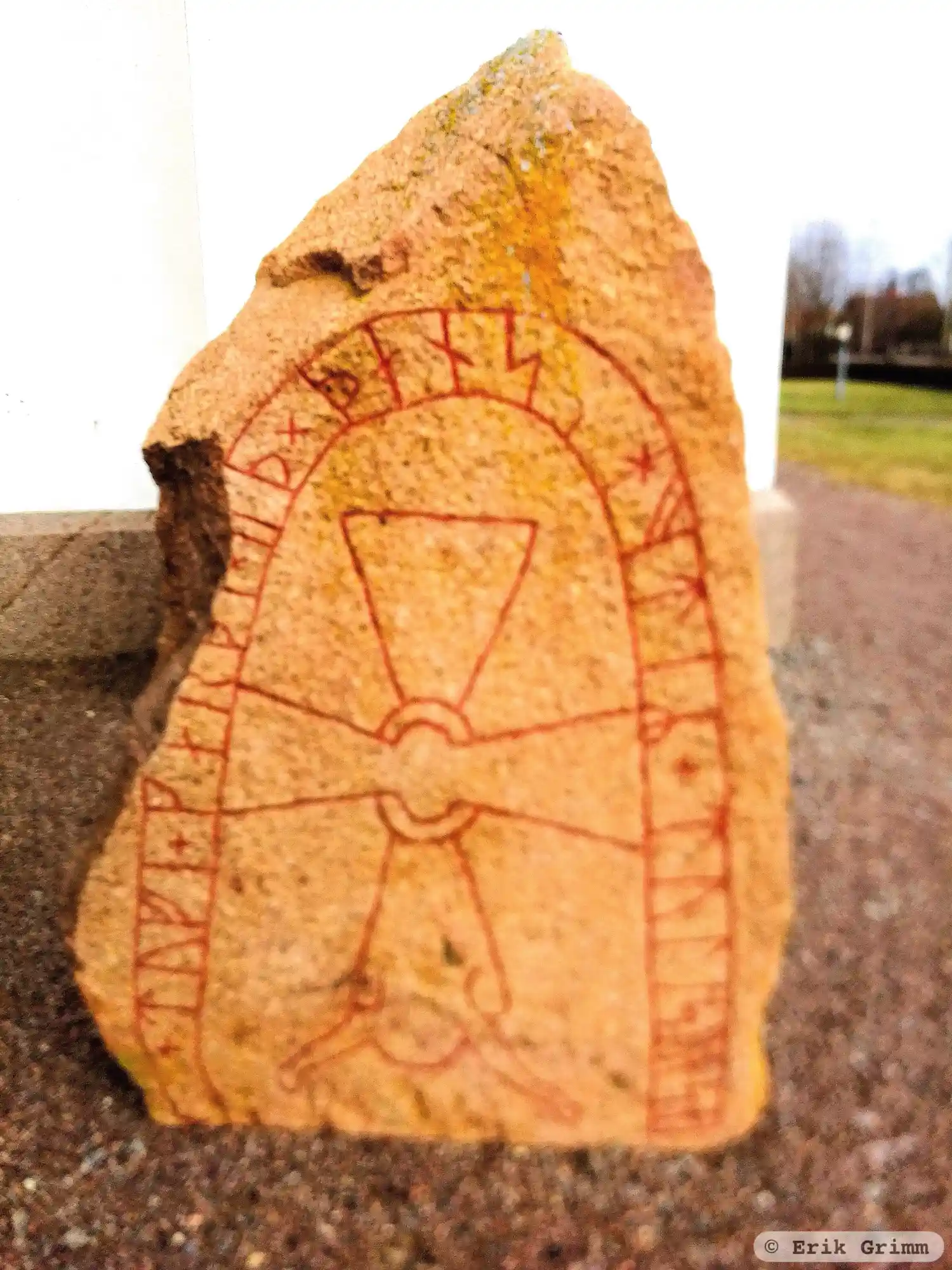
Photo: Erik Grimm
Runic inscription
+ tufi + karþi × uþ × þans- hftiR + tuli sua sa
Inscription
+ tufi + karþi × uþ × þans- hftiR + tuli sua sa
Translation
Tófi made this ford in memory of Tólir, his son.
Find the carving
Rune-stone ÖgFv1983;240, L2012:1209 in Appuna parish, Mjölby municipality
Facts
| Monument number | L2012:1209 |
|---|---|
| Swedish National Heritage Board ID | Appuna 4:1 |
| Status | Confirmed on location |
| Place | Visible above ground |
| Material | Granite |
| Antiquarian assessment | Ancient monument |
| Damage status | Damage |
| County | Östergötland |
| Municipality | Mjölby |
| Parish | Appuna |
| Coordinates | 58.3426035, 14.9610675 |
Sources
Most of the factual information in Runkartan comes from the Swedish National Heritage Board’s Fornsök data and from the Scandinavian Runic Text Database. The maps come from OpenStreetMap and Leaflet.js. The photographs were taken by the credited photographers.