Rune-stone M7, L1935:7510 in Tuna parish, Uppsala municipality
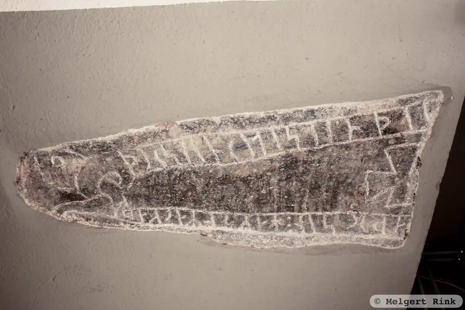
Photo: Melgert Rink
Runic inscription
(þ)(u)rs-i[n] riti stin þin... ... ...aþur : sin : hakun markaþi
Inscription
(þ)(u)rs-i[n] riti stin þin... ... ...aþur : sin : hakun markaþi
Translation
Þorsteinn erected this stone ... his father. Hákon marked.
Find the carving
Rune-stone M7, L1935:7510 in Tuna parish, Uppsala municipality
Facts
| Monument number | L1935:7510 |
|---|---|
| Swedish National Heritage Board ID | Tuna 4:1 |
| Carver | Håkon (S) |
| Status | Confirmed on location |
| Place | Visible above ground |
| Antiquarian assessment | Ancient monument |
| Damage status | Undamaged |
| County | Uppsala |
| Municipality | Uppsala |
| Parish | Tuna |
| Coordinates | 62.3274825, 17.0656025 |
Sources
Most of the factual information in Runkartan comes from the Swedish National Heritage Board’s Fornsök data and from the Scandinavian Runic Text Database. The maps come from OpenStreetMap and Leaflet.js. The photographs were taken by the credited photographers.