Rune-stone M2, L1934:374 in Njurunda parish, Sundsvall municipality
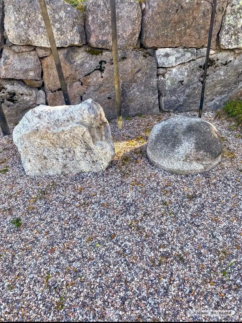
Photo: Helmer Berglund
Runic inscription
oskir barþi
Inscription
oskir barþi
Translation
Ásgeirr/Ásgerðr struck (the runes).
Find the carving
Rune-stone M2, L1934:374 in Njurunda parish, Sundsvall municipality
Facts
| Monument number | L1934:374 |
|---|---|
| Swedish National Heritage Board ID | Njurunda 807 |
| Status | Confirmed on location |
| Place | Visible above ground |
| Antiquarian assessment | Ancient monument |
| Damage status | Damage |
| County | Västernorrland |
| Municipality | Sundsvall |
| Parish | Njurunda |
| Coordinates | 62.2571555, 17.373571 |
Sources
Most of the factual information in Runkartan comes from the Swedish National Heritage Board’s Fornsök data and from the Scandinavian Runic Text Database. The maps come from OpenStreetMap and Leaflet.js. The photographs were taken by the credited photographers.