Runic rock inscription Kvarntorpshällen, UTHS10;58, L2014:18 in Täby parish, Täby municipality
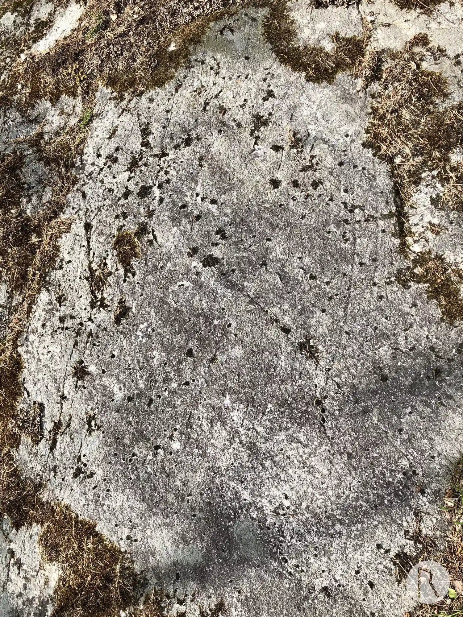
Photo: Niklas Vackerdag
Runic inscription
isa · lit · stain hkua · iftR · stiub- sina · auk hlka li... ...a · ifR · suni · sina tan · suain
Inscription
isa · lit · stain hkua · iftR · stiub- sina · auk hlka li... ...a · ifR · suni · sina tan · suain
Translation
<isa> had the stone cut in memory of his stepsons; and Helga had (the stone) cut in memory of her sons Danr and Sveinn.
Find the carving
Runic rock inscription Kvarntorpshällen, UTHS10;58, L2014:18 in Täby parish, Täby municipality
Facts
| Monument number | L2014:18 |
|---|---|
| Swedish National Heritage Board ID | Täby 142:1 |
| Status | Confirmed on location |
| Place | Visible above ground |
| Antiquarian assessment | Ancient monument |
| Damage status | Unknown |
| County | Stockholm |
| Municipality | Täby |
| Parish | Täby |
| Coordinates | 59.433258, 18.065828 |
Sources
Most of the factual information in Runkartan comes from the Swedish National Heritage Board’s Fornsök data and from the Scandinavian Runic Text Database. The maps come from OpenStreetMap and Leaflet.js. The photographs were taken by the credited photographers.