Runic rock inscription Glömstahällen, Sö300, L2016:837 in Huddinge parish, Huddinge municipality
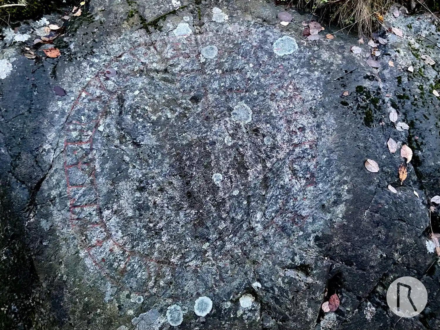
Photo: Niklas Vackerdag
Runic inscription
suerkiR : lit : boro : kiera : eftiR · erinkuni · moþur koþa
Inscription
suerkiR : lit : boro : kiera : eftiR · erinkuni · moþur koþa
Translation
Sverkir had the bridge made in memory of Eringunnr, (his) good mother.
Find the carving
Runic rock inscription Glömstahällen, Sö300, L2016:837 in Huddinge parish, Huddinge municipality
Facts
| Monument number | L2016:837 |
|---|---|
| Swedish National Heritage Board ID | Huddinge 24:1 |
| Status | Confirmed on location |
| Place | Visible above ground |
| Period | Viking age |
| Antiquarian assessment | Ancient monument |
| Damage status | Undamaged |
| County | Stockholm |
| Municipality | Huddinge |
| Parish | Huddinge |
| Coordinates | 59.234831, 17.914463 |
Sources
Most of the factual information in Runkartan comes from the Swedish National Heritage Board’s Fornsök data and from the Scandinavian Runic Text Database. The maps come from OpenStreetMap and Leaflet.js. The photographs were taken by the credited photographers.