Rock carving Hällarna från Tuna, L2014:5674 in Ytterenhörna parish, Södertälje municipality
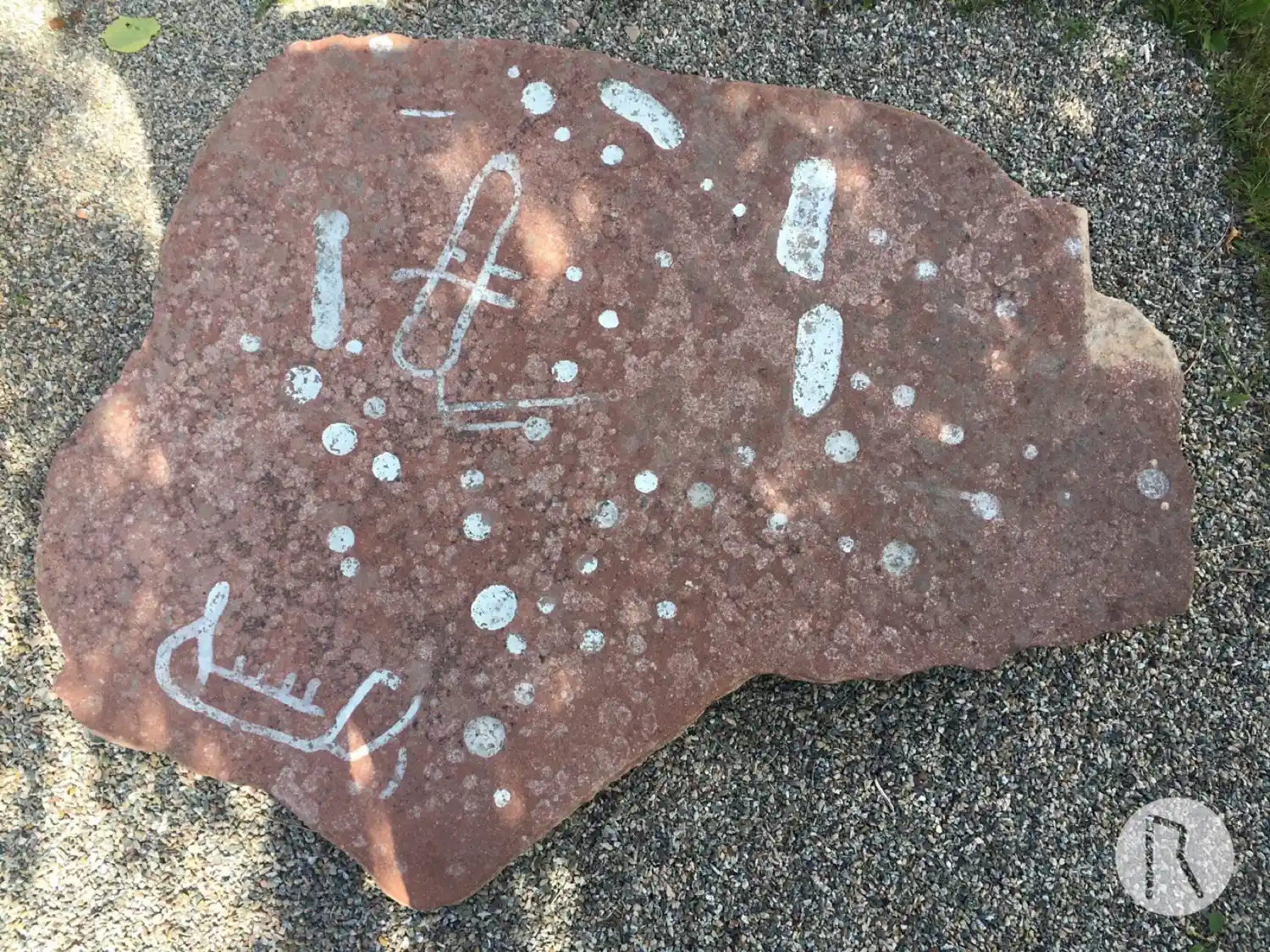
Photo: Niklas Vackerdag
Figure types
Ship figure, Cup mark, Other identifiable figure
Find the carving
Rock carving Hällarna från Tuna, L2014:5674 in Ytterenhörna parish, Södertälje municipality
Facts
| Monument number | L2014:5674 |
|---|---|
| Swedish National Heritage Board ID | Ytterenhörna 37:1 |
| Status | Confirmed on location |
| Place | Visible above ground |
| Antiquarian assessment | Ancient monument |
| Damage status | Unknown |
| County | Stockholm |
| Municipality | Södertälje |
| Parish | Ytterenhörna |
| Coordinates | 59.253288333333, 17.491228333333 |
Sources
Most of the factual information in Runkartan comes from the Swedish National Heritage Board’s Fornsök data and from the Scandinavian Runic Text Database. The maps come from OpenStreetMap and Leaflet.js. The photographs were taken by the credited photographers.